Lincoln Conservation Selected Trails

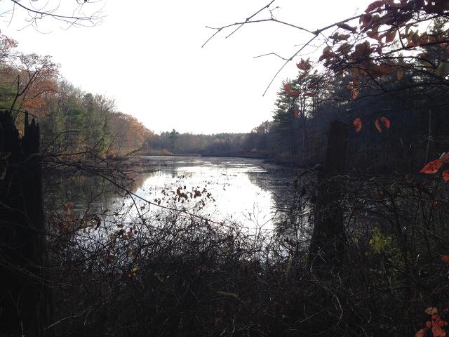
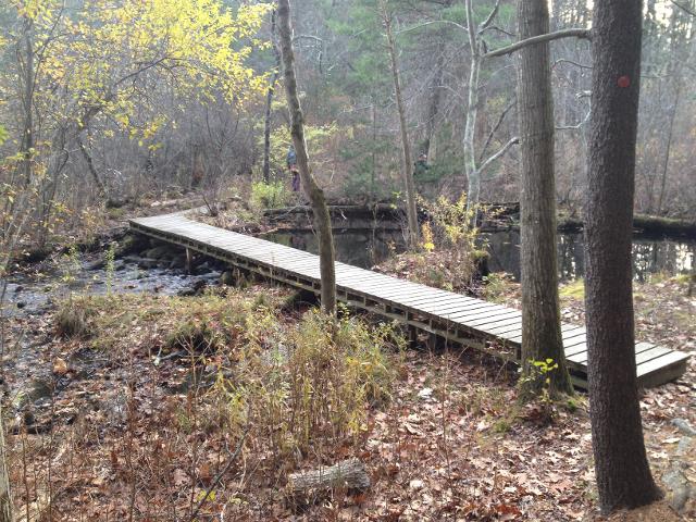
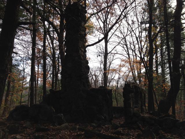
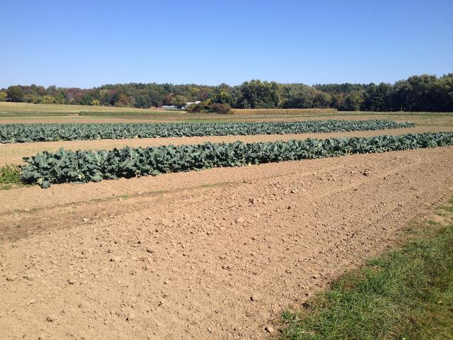
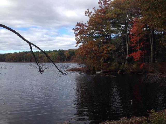
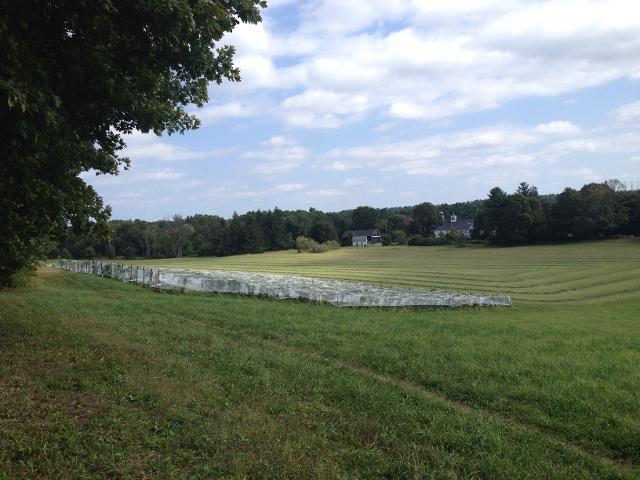
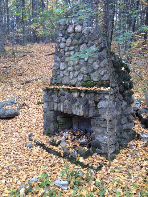
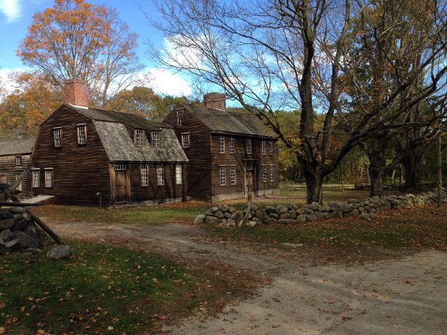
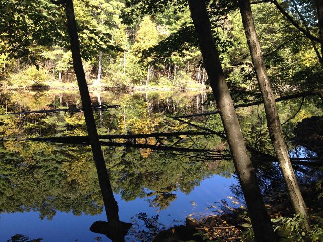
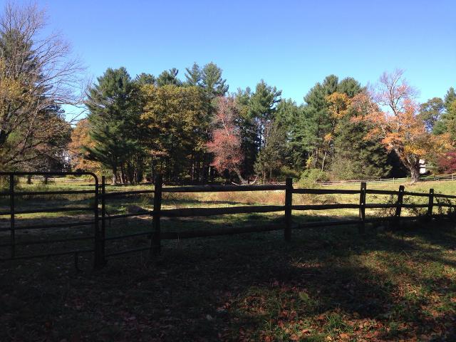
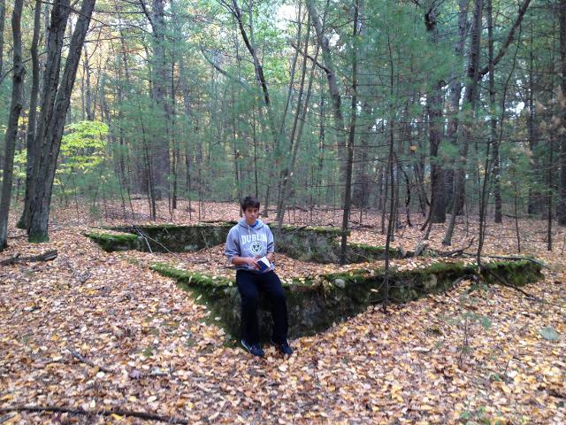
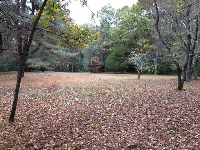
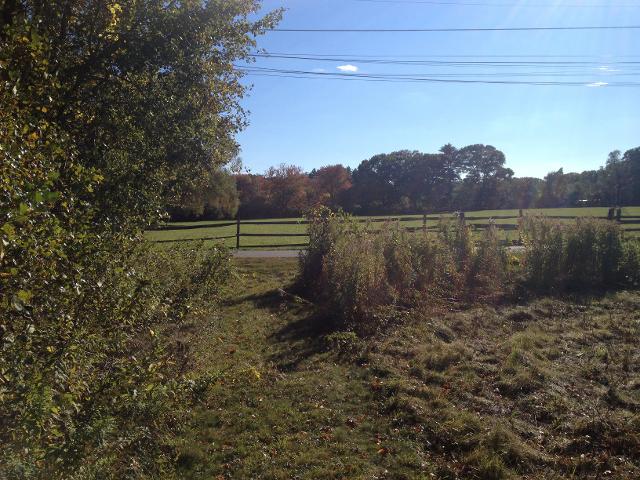
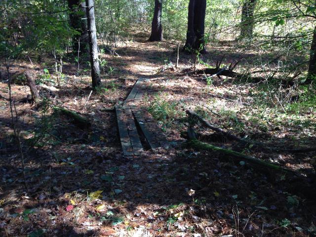
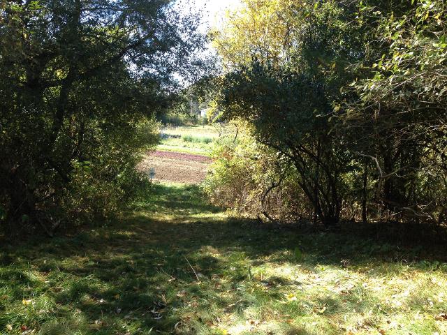
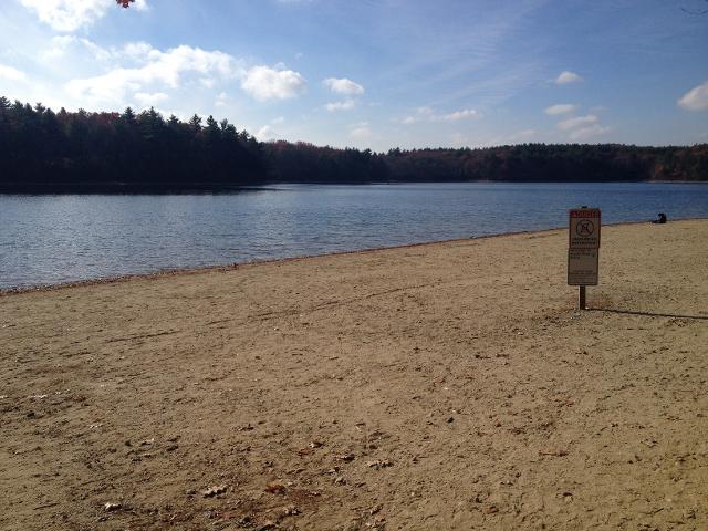
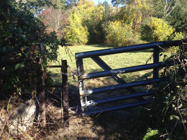
This website contains the 17 suggested walks in "A Guide to Conservation Land in Lincoln." Underneath the alphabetically-listed trails is a representative picture of what you will see on the trail, along with three links. The first link is an interactive map which can be opened in any web browser. The second link is the most recommended, which allows you to open the trail and pictures in Google Earth. You must install the Google Earth application if you wish to use it on your phone or tablet. The final link downloads a "gpx" file which can be used in any gps program or navigation device.

The goal of the website is to provide an overview of each walk and a resource for navigation on the trails. For additional information and history you can buy "A Guide to Conservation Land in Lincoln" from the Lincoln Land Conservation Trust.


Beaver Pond Stony Brook South 1

Interactive Map

Download KMZ File (Google Earth)

Download GPX File (universal GPS format)


Beaver Pond Stony Brook South 2

Interactive Map

Download KMZ File (Google Earth)

Download GPX File (universal GPS format)


Browning Fields / Pigeon Hill

Interactive Map

Download KMZ File (Google Earth)

Download GPX File (universal GPS format)


Drumlin Farm

Interactive Map

Download KMZ File (Google Earth)

Download GPX File (universal GPS format)


Farrar Pond

Interactive Map

Download KMZ File (Google Earth)

Download GPX File (universal GPS format)


Flint Field

Interactive Map

Download KMZ File (Google Earth)

Download GPX File (universal GPS format)


Flints Pond

Interactive Map

Download KMZ File (Google Earth)

Download GPX File (universal GPS format)


Minuteman National Historical Park

Interactive Map

Download KMZ File (Google Earth)

Download GPX File (universal GPS format)


Mount Misery

Interactive Map

Download KMZ File (Google Earth)

Download GPX File (universal GPS format)


Osborne Farm

Interactive Map

Download KMZ File (Google Earth)

Download GPX File (universal GPS format)


Pine Hill

Interactive Map

Download KMZ File (Google Earth)

Download GPX File (universal GPS format)


Schools to Codman Bridge

Interactive Map

Download KMZ File (Google Earth)

Download GPX File (universal GPS format)


Silver Hill Bog and Chapman Pasture

Interactive Map

Download KMZ File (Google Earth)

Download GPX File (universal GPS format)


Tower Road Parcels

Interactive Map

Download KMZ File (Google Earth)

Download GPX File (universal GPS format)


Umbrello and Fernald Woods

Interactive Map

Download KMZ File (Google Earth)

Download GPX File (universal GPS format)


Walden Pond

Interactive Map

Download KMZ File (Google Earth)

Download GPX File (universal GPS format)


Wheeler Farm

Interactive Map

Download KMZ File (Google Earth)

Download GPX File (universal GPS format)


This website is an Eagle Scout service project by Thomas Rhines of Lincoln Troop 127.